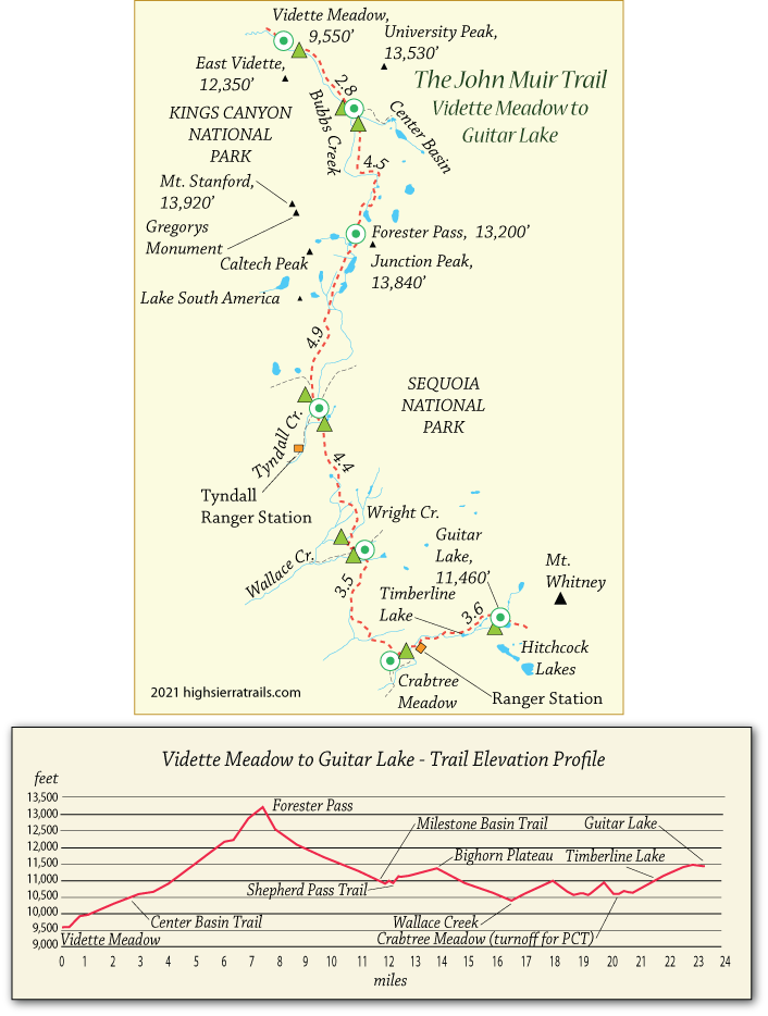
John Muir Trail Map 8
Vidette Meadow to Forester Pass
Excluding Mt. Whitney, 13,200-foot Forester Pass (shown above) is the highest point along the John Muir Trail. Many hikers break the 3,650-foot, 7-mile ascent from Vidette Meadow into two sections by camping part way up the pass. A good campsite is found at timberline. After so many days on the trail and packs as light as they have ever been, Forester Pass will likely be no harder than any of the previous summits. The top of the pass marks the boundary between Kings Canyon National Park and Sequoia National Park.
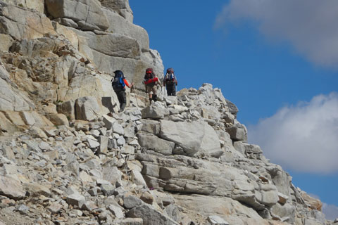
Ascending Forester Pass
Forester Pass to Guitar Lake
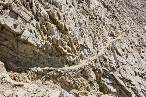
The trail on the south side of Forester Pass has been cut into the mountainside, making it a dangerous descent if still buried in snow. Check with rangers before setting out. Once the snow is gone, the well-graded trail is easy to follow.
Shop Amazon for:
Backpacking Tents
Beyond the Shepherd Pass turnoff, the JMT climbs to Bighorn Plateau with great views of the area. Good camping is found at Wallace Creek. Signs pointing to Mt. Whitney signal that you are nearing the end of the trail. At Crabtree Meadow the JMT leaves the Pacific Crest Trail and swings east. While Guitar Lake is the traditional campsite before the final push to Whitney, some hikers prefer to continue a little farther up the trail before stopping, thus shortening the next day's hike.
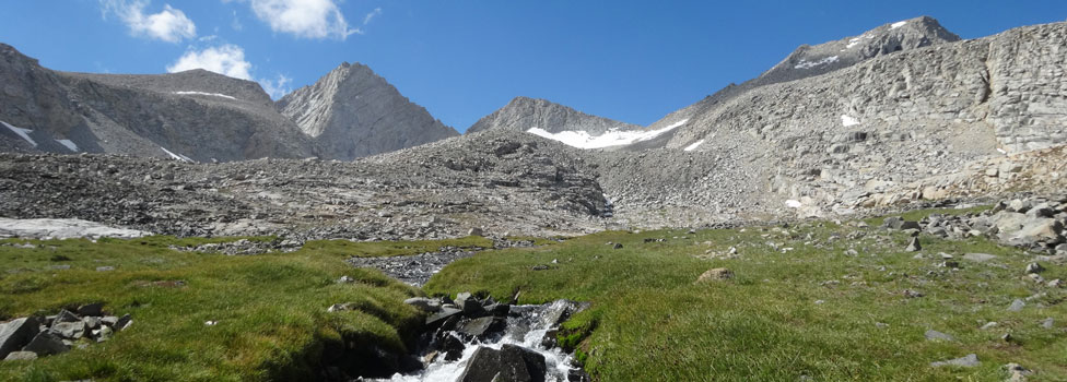
Along the Way
Center Basin
Center Basin was once the designated route for the John Muir Trail. Today a hard-to-spot lateral trail leaves the JMT before the Center Basin Creek crossing. The trail picks its way up the slope to a series of pleasant alpine lakes. Fish have been removed from the lakes to provide safe habitat for the mountain yellow-legged frogs.
Forester Pass
Construction of the trail over Forester Pass was completed in 1931. A year earlier during work on the south slope, a boulder fell away during blasting and crushed 18-year-old Donald Downs' arm. Downs was evacuated and his arm amputated, but he later died from the injury. A plaque commemorating his death is located on the southern side of the pass.